Harvey: Dangerous Storm For Entire Gulf
The National Hurricane Center (NHC) has reclassified the low in the southwestern Gulf of Mexico as Tropical Depression Harvey. Reconnaissance data indicates that Harvey has maximum sustained winds of 35 mph and is moving towards the NW at 9 mph. This motion is expected to continue through the week as Harvey develops into a hurricane near the Texas coast.

NHC Forecast Cone
By Friday, it looks likely that Harvey will reside close to the mid-Texas coast. With low shear and warm sea-surface temperatures, it is likely that Harvey will be a hurricane at this time. This would create strong winds and potentially a damaging storm surge for parts of the Texas/Louisiana coast (depending on the strength and position of Harvey). Very heavy rainfall is another major threat with Harvey, and this rain threat is not only for coastal areas.
Since Harvey will likely slow down and meander around the coast late into the week/early weekend, this will draw in copious amounts of moisture into southern Texas and Louisiana–leading to an increased flooding threat. This meandering scenario looks likely due to the steering pattern associated with the TUTT low over the northwestern Gulf. There is uncertainty as to how long Harvey will meander near the Texas coast; the synoptic evolution is important in determining the eventual eastward or northeastward motion of Harvey–this is highly dependent on where Harvey resides on Friday. If Harvey is closer towards the southern Texas coast, more of an eastward motion may resume by late in the weekend. But, if Harvey is further towards the mid-to-upper Texas coast, then phasing will likely occur which would shift Harvey east-northeastward/northeastward shifting the heavy rainfall threat further north and eastward along the Gulf states through early next week.
Regardless, it appears widespread 10-20″ of rainfall are across southern Texas with several inches possible further inland towards southern parts of central Texas; depending on how long Harvey meanders along the coast, a few areas could see well in excess of 20″. Louisiana, Mississippi, and Alabama will likely receive heavy rainfall by late in the weekend into early next wee. Southern Louisiana may pick up 10-15″ of rainfall wile the rest of Louisiana and central/southern Mississippi may see 3-7″. Isolated much higher amounts are possible across the Gulf states.

Spaghetti Plot

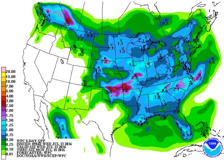
WPC Precipitation Forecast Through 7 Days

GFS Rainfall Forecast
A Storm Surge Watch has been issued for the coast of Texas from Port Mansfield to High Island, aHurricane Watch has been issued for the coast of Texas from north of Port Mansfield to San Luis Pass, and a Tropical Storm Watch has been issued for the coast of Texas from the Mouth of the Rio Grande to Port Mansfield and from north of San Luis Pass to High Island. We will have updates as needed.