Eyeing the potential for thunderstorms & flooding next week for parts of the South
The drought continues to worsen across parts of the South with abnormally dry conditions for parts of the Southeast & Carolinas. The hardest-hit areas are currently Mississippi, Louisiana, and Arkansas. Looking ahead to next week, it appears a wet weather pattern will develop across the aforementioned areas with the possibility of areas of heavy rainfall that could increase the flooding concerns.

Latest drought monitor (2/17/22) for the South
Latest drought monitor (2/17/22) for the Southeast
A weather pattern that will favor thunderstorm development is expected from early to mid-week across parts of the South, Mid-South, Tennessee Valley, and parts of the Carolinas & Southeast. This wetter weather pattern is good given the increased dry conditions and numerous fires across the region, but there could be too much rain too fast.
Numerical guidance is suggesting a widespread 2-4 inches of rain with amounts over 6 inches may fall across parts of Arkansas, Tennessee, Mississippi, Alabama, Georgia, Kentucky, and the Carolinas that could lead to flooding the majority of the upcoming week. The WPC agrees with the numerical guidance and has a forecast painting a wet picture next week for parts of the South, Mid-South, and Tennessee Valley.
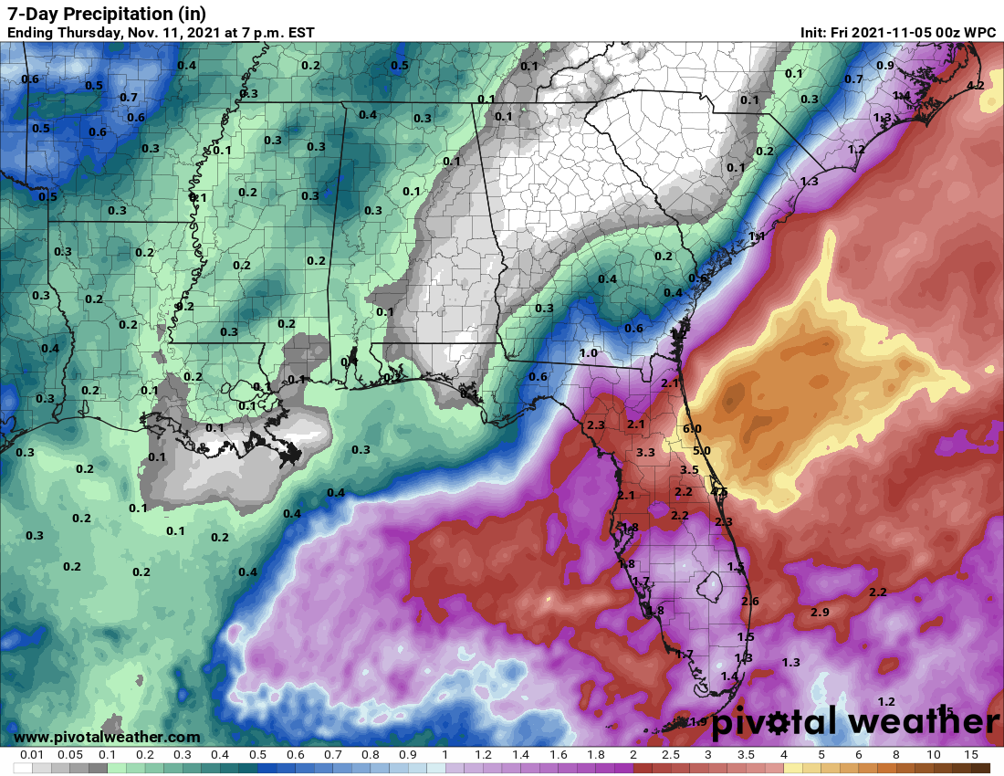
Rainfall forecast through next week
Rainfall forecast through next week
This forecast is still several days out so some changes will be needed but keep checking back as the finer details become clearer over the coming days. It’s a good reminder if you live in a flood-prone area to just go ahead and start keeping an eye on the forecast and know what to do given a heavy rain scenario for your area.