JAMSTEC Model Makes Bold 2015-16 Winter Forecast
Special Update (July 7th, 2015): Firsthand Weather’s early 2015-16 winter forecast will be released on Sunday, July 19th at 2 pm ET on this site. Please come back to check it out, and sign up for the newsletter for the latest updates.
If you have been following Firsthand Weather for any amount of time, you know that I am not a big fan of long-range/seasonal forecasts that are based entirely off of the output of a long-range/climate forecast model. Model guidance is extremely important to a meteorologist, but forecast models should only be used as tools to get an idea of what the future state of the atmosphere could look like.
I have been following the JAMSTEC model for a couple years now, and from time to time, I share its latest output on Firsthand Weather. The model itself is called the SINTEX-F model (JAMSTEC is the agency that maintains the model), and it is a ocean-atmosphere coupled general circulation model. You’re probably asking yourself, what does that even mean? Simply put, the JAMSTEC model tries to accurately predict months in advance how the changes in ocean temperatures will impact the weather around the globe. For example, the Gulf of Alaska warm-pool has had major impacts on the last two winters in the United States, and more recently, El Nino has started to be a bigger influence.
What is the JAMSTEC Model Prediction for the 2015-16 Winter?
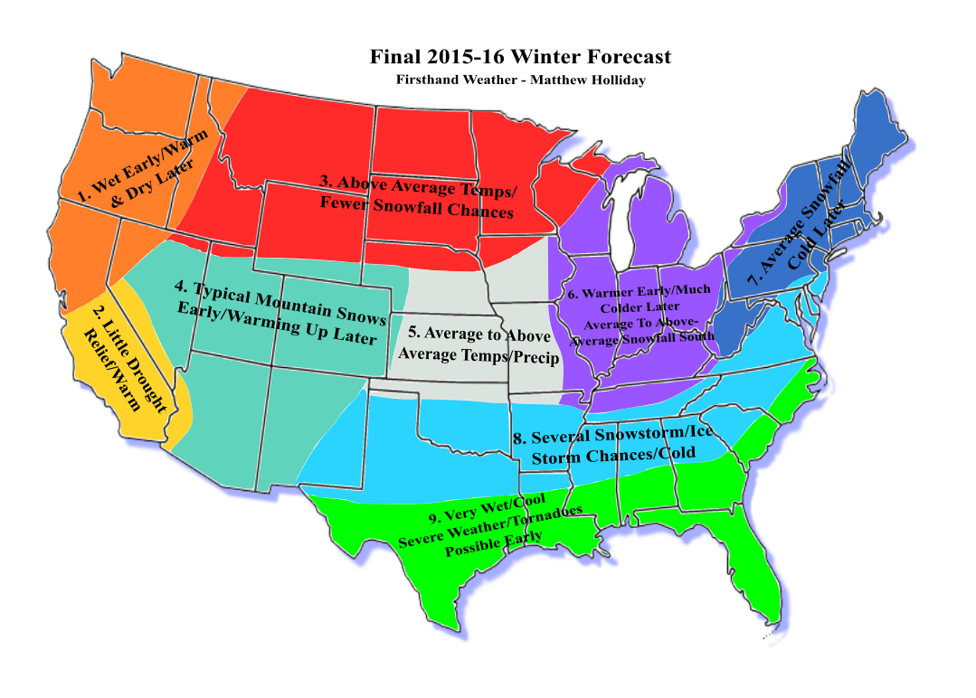
In its May update, the JAMSTEC model is calling for another cold winter in the United States. As with any model, I have my agreements and disagreements with the placement of the colder temperatures. I don’t release my early winter predictions until later in the year, so I won’t be sharing an actual winter forecast for some time.
The model strengthens the El Nino especially across the central Pacific and maintains the warmer sea surface temperatures in the Gulf of Alaska and extends those warmer water temperatures down the West Coast of the U.S. On the other hand, it really cools the central Pacific. Because of this configuration in sea surface temperature anomalies in the Pacific, this is likely why the model is predicting a colder central and eastern United States winter.
Don’t confuse a temperature anomaly map with an actual temperature map. Just because the model shows above average temperatures in Canada/Alaska and below average temperatures in the U.S. DOESN’T mean it’s predicting that the overall temperatures will average out warmer in Canada/Alaska than here.
How Good of a Job Did The JAMSTEC Model Do in Predicting The 2014-15 Winter in the U.S.?
It actually did a decent job in predicting both U.S. temperatures/precipitation and the placement of warmer sea surface temperatures in the Pacific. Of course, variations in output occurred each month, but that’s to be expected.
Below is a comparison between what the JAMSTEC model predictied this time last year (May 2014) for the 2014-15 winter verses what actually happened.
Predicted Temperature Anomalies (Above/Below Average Temps) For 2014-15 Winter:
Predicted Precipitation Anomalies (Above/Below Average Precip) For 2014-15 Winter:
Predicted Sea Surface Temperature Anomalies (Above/Below Average SST’s) For 2014-15 Winter:
Actual Temperature Anomalies (Above/Below Average Temps) For 2014-15 Winter:
Actual Precipitation Anomalies (Above/Below Average Precip) For 2014-15 Winter:
Actual Sea Surface Temperature Anomalies (Above/Below Average SST’s) For 2014-15 Winter:
As you can see, it pretty much nailed the placement of below average temperatures in the U.S. It was too wet on the West Coast, but everywhere else was reasonably close. Keep in mind that the forecast for Canada didn’t come out to be as accurate. Also, this model updates monthly, so there were monthly changes in the forecast through 2014.
Again, this is just a model!! If this model were not to line up with my predictions for this upcoming winter, I still wouldn’t change my forecast, but I always keep an eye on the forecasts models that tend to outperform. This model didn’t do too bad last year, so we’ll have to see how it does this year.


