Pockets of sleet and snow are possible for the Southeast and Carolinas
An area of precipitation will develop and overspread parts of the Southeast tonight into Thursday morning. The precipitation will remain relatively light, with a few pockets of moderate intensity, and the majority of it should fall in the form of rain. However, temperatures at the surface and higher up in the atmosphere will be quite cold. Join the Firsthand Weather Supporter Group today for more information on the cold weather.
Because of this cold air mass, it is possible that a few sleet pellets will mix in with the rain across far northern Georgia, eastern Tennessee, western North Carolina, and northern parts of Upstate South Carolina. This sleet won’t be a major issue and accumulations are not expected. (SEE BELOW FOR DETAILS ON THE SNOW).
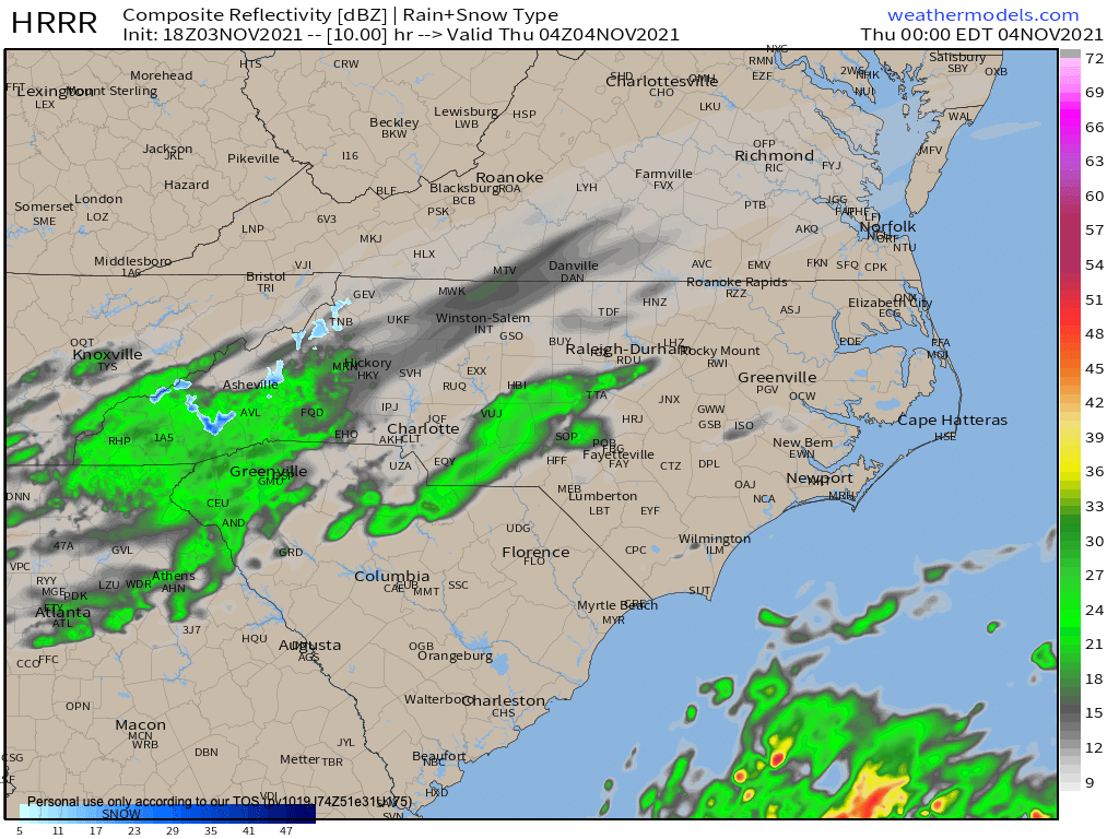
Fig. 1: Radar overnight tonight
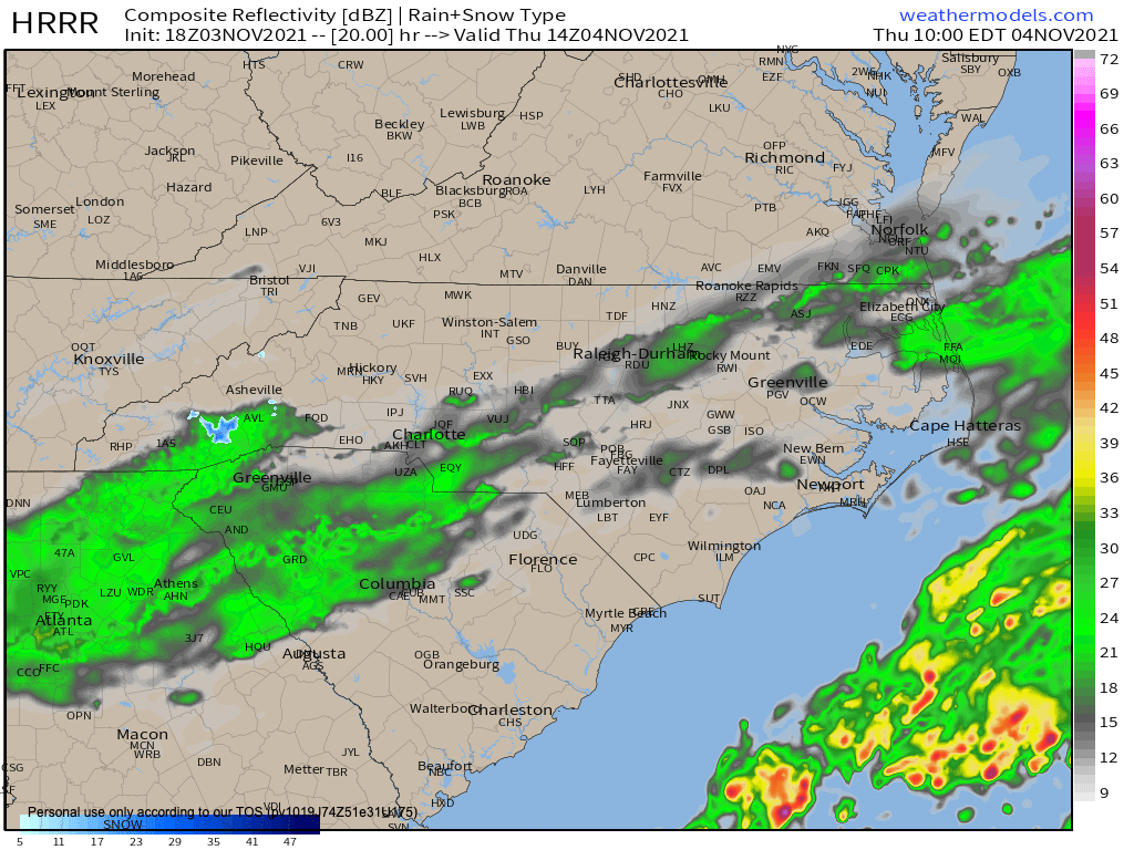
Fig. 2: Radar early tomorrow morning (Thursday)
There will also be pockets of snow for the higher elevations. The rain/snow line should fall to around 3,000-3,500 feet overnight for western North Carolina and eastern Tennessee. Above 3,500 feet, up to 1 inch of snow will accumulate with 1-3 inches for snow above 5,000 feet. It also appears the rain/snow line may sneak into far northeastern Georgia and far northern Upstate South Carolina. The areas that could see that rain/snow mix in Georgia and South Carolina are northern Towns and Rabun Counties (GA), and far northern Oconee, Pickens, and Greenville Counties (SC). No accumulations are expected in GA and SC. Join the Firsthand Weather Supporter Group today.
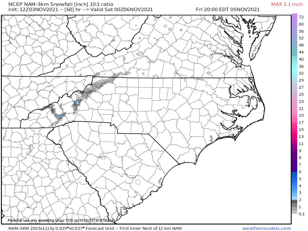
Fig. 3: Snowfall accumulation forecast
Enjoy the taste of winter!