Damaging thunderstorms expected for Texas today
Massive hail, hurricane-force wind gusts, and tornadoes are possible across the Lone Star State this afternoon and evening.
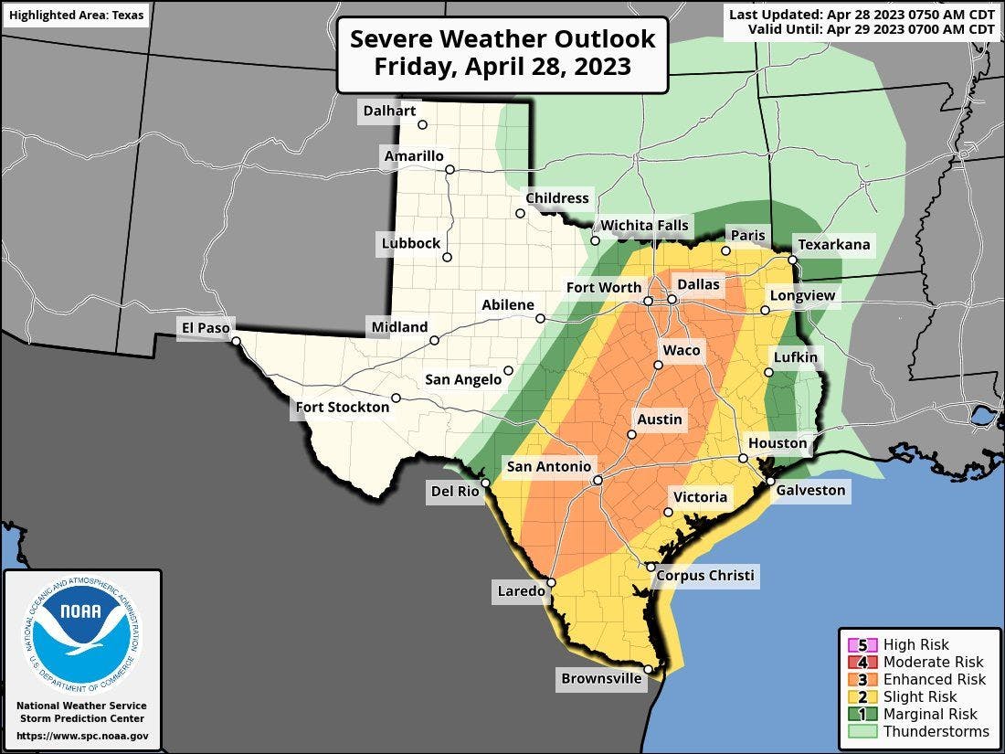
The most populated areas are under the gun for these damaging thunderstorms later this afternoon and evening. The entire I-35 corridor is under an enhanced (level 3 of 5) severe risk, including the Dallas-Fort Worth Metroplex, Waco, Austin, and San Antonio. Other major metros are included in a slight (level 2 of 5) severe risk, including Houston, Corpus Christi, and Brownsville.
Today's severe risk
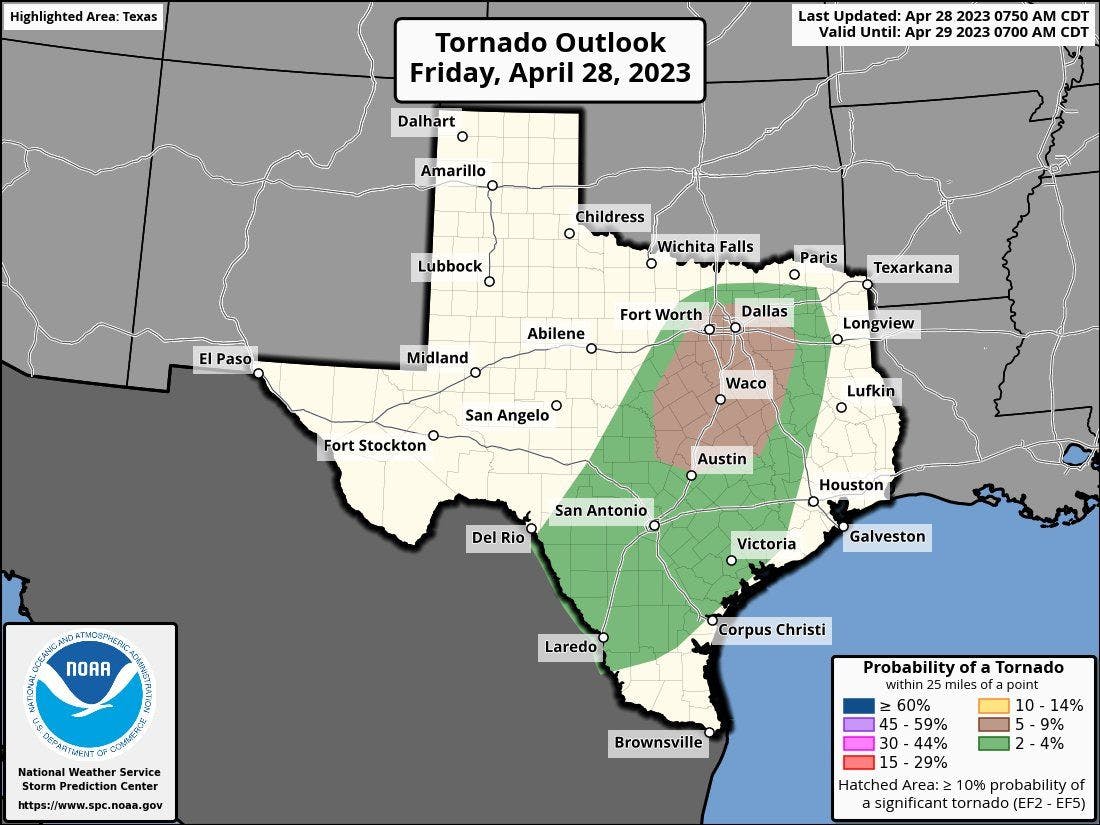
Today's tornado risk
Today's hail risk

Today's wind risk
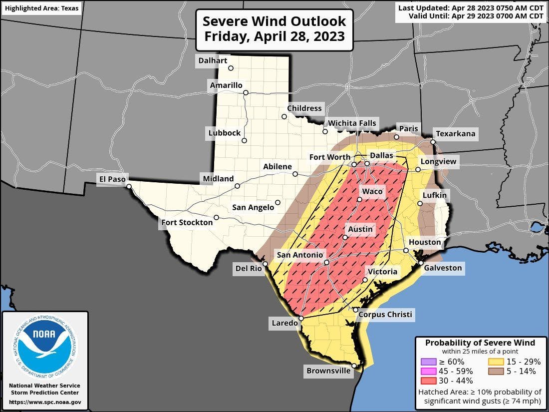
Thunderstorms initially develop near or just west of the I-35 corridor early to midafternoon. These initial discrete storms will have the potential to produce hail potentially the size of softballs, tornadoes, and 75-80 mph wind gusts. Storms begin to merge into a line late afternoon and evening near and east of the I-35 corridor. These storms will produce large hail to around golf ball size, widespread damaging winds around 75 mph, and isolated tornadoes.