Snow tonight for the Great Smoky Mountains and the Blue Ridge Mountains
There are two chances for snow over the coming days for parts of the Southern Appalachians. The first chance for snow arrives tonight into Monday with a second chance for snow to end the week. The second chance for snow could be more impactful, possibly extending into northern parts of the Southeast states. Here is more information on the second snow chance.
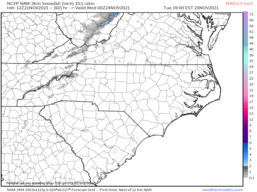
Let’s dive into tonight’s snow chances. An upper-level storm system and associated cold front will move east across eastern parts of the country today into Monday. This cold front will deliver very chilly air to the eastern parts of the country with temperatures falling well below average through mid-week. Once the cold front passes through the southern Appalachians, there will be a chance for quick-hitting snow in the highest peaks of the Great Smoky Mountains and the Blue Ridge Mountains overnight tonight into Monday for far eastern Tennessee and far western North Carolina.
The best chance for snow will fall above 3,500 feet. This is where a few snowflakes will mix in with the rain. Higher in elevation, a dusting of snow is possible above 4,500 feet. Accumulations greater than a dusting are not expected due to meager moisture and marginal temperatures while the moisture is in place. Join the Firsthand Weather Supporter Group.
Snow accumulation forecast for tonight through Monday
See the latest winter outlooks below.
Read the NOAA Winter Outlook here.
Read the AccuWeather Winter Outlook here.