Strong tornadoes are possible for the South today
Monday was a very active severe weather and tornado day for parts of the Southern Plains and the severe threat continues today (Tuesday). There have already been numerous Severe Thunderstorm Warnings and Tornado Warnings today for parts of the South and that is expected to continue this afternoon & evening with an uptick in the number & intensity of severe storms. The atmosphere will also become primed for tornadoes today some of which could become strong tornadoes (EF3-EF5). In fact, there’s already a Tornado Watch in effect for areas of the South. This Tornado Watch includes parts of southeastern Louisiana and much of Mississippi until 7 PM CDT. Additional Tornado Watches could be issued today.
A tornado watch has been issued for southeastern Louisiana and southern/central Mississippi until 7 PM CDT. Tornadoes (some strong) and damaging winds (some 75+ mph) are the main threats this afternoon and early evening. Large hail may also occur. pic.twitter.com/hZ7nUk3kDA
— NWS Storm Prediction Center (@NWSSPC) March 22, 2022
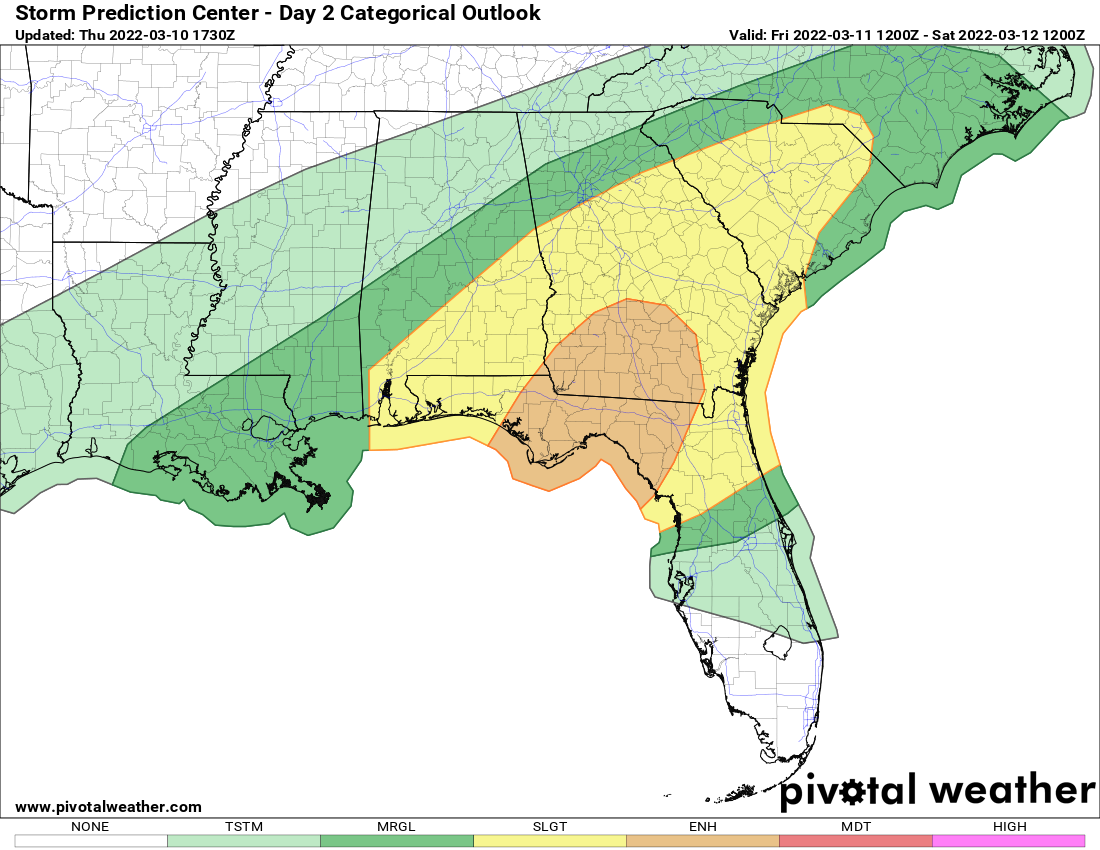
Because of the severe threat, the Storm Prediction Center has outlined a severe risk area for today. There is a moderate (red – level 4/5), enhanced (orange – level 3/5), slight (yellow level 2/5), and marginal (dark green – 1/5) severe risk for parts of the South. The moderate severe risk includes southern Louisiana, central and southern Mississippi, and west-central Alabama; while the enhanced severe risk surrounds the moderate severe risk, including northern Mississippi and western Alabama. The severe risk will slowly shift from west to east across the risk area this afternoon & evening. A few severe storms & tornadoes could continue into the nighttime hours.

Today’s (Tuesday) severe risk
Within the severe risk areas, all modes of severe weather are possible. This includes tornadoes, hail, and wind. A few strong tornadoes cannot be ruled out. The favored areas to see strong tornadoes are the areas within and near the moderate and enhanced severe risk areas. If you live in or near the severe risk areas, please keep aware of the weather throughout the day, have reliable sources to receive updated warnings from, and have a plan in place to immediately act if a warning is issued.
The severe threat shifts to the Southeast, Carolinas, & Mid-Atlantic tomorrow (Wednesday).
Tomorrow’s (Wednesday) severe risk