A cold front will bring rain and cooler temperatures to parts of the South and Southeast
We are at the point of the year in the South where we are tired of the heat and counting down the day to fall. While no fall-like air is in the forecast for the foreseeable future, a weak cold front will sneak into the Tennessee Valley, Deep South, Southeast, and Carolinas late this upcoming work week into the following weekend (yes, we have to wait another week AND it should be noted another cold front will impact Tennesee earlier in the period so keep reading for more details). This cold front will ease temperatures a few degrees and significantly increase rain chances for some areas.
A strong upper-level ridge anchored over the Gulf of Mexico has delivered summer temperatures to the entire South but an upper-level trough dipping into the Great Lakes later this upcoming work week should be enough to send a weak cold front south late this work week into the following weekend.
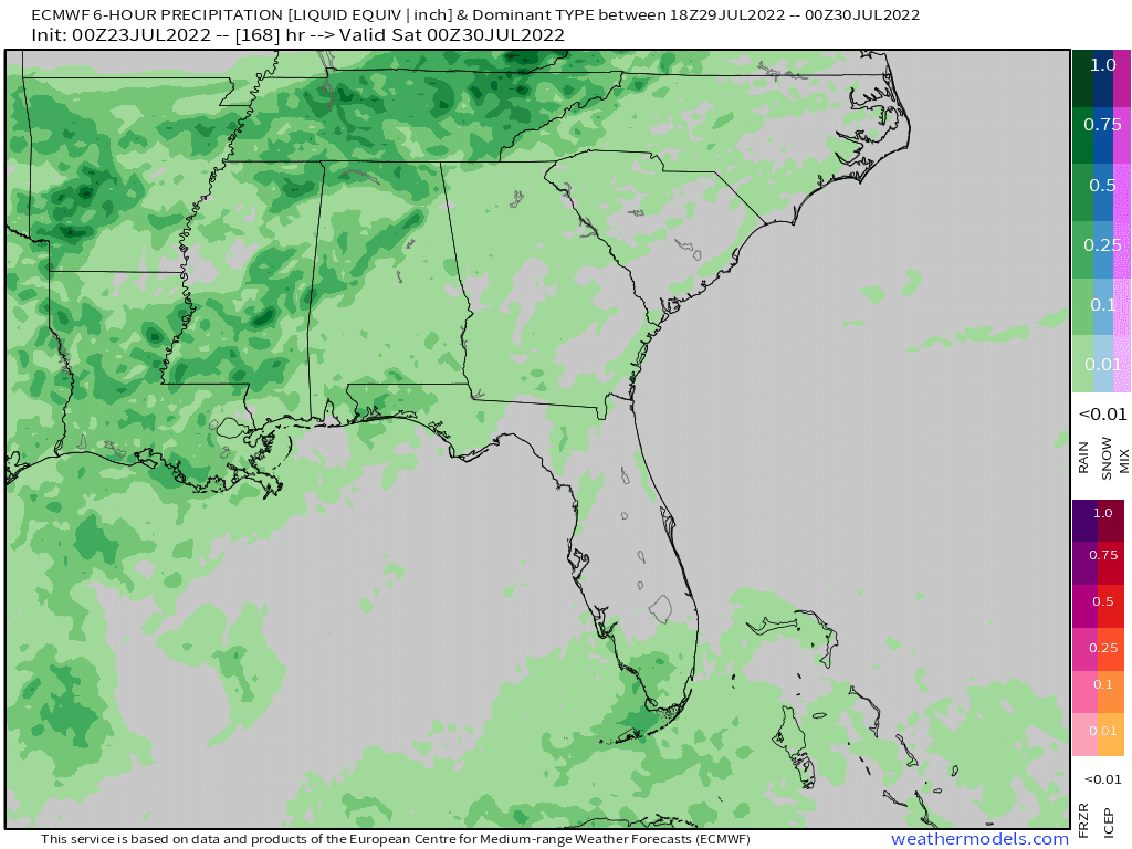
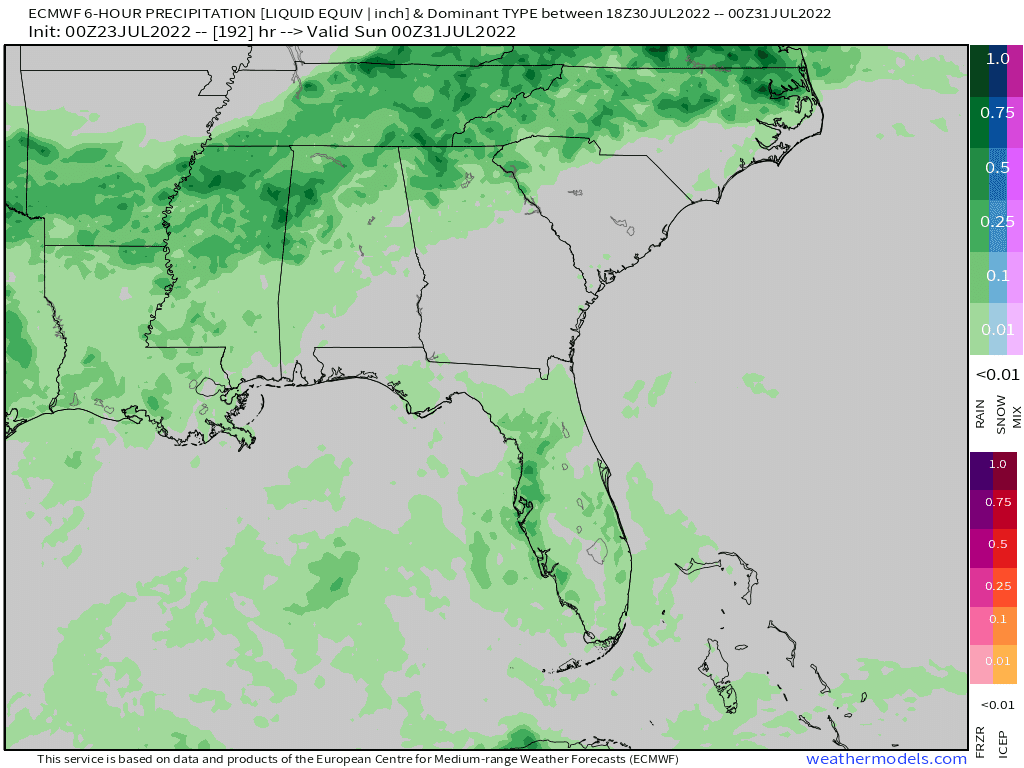
The cold front will be weak and will most likely stall and start to wash out near I-20 over the weekend, it'll be a focus for showers and storms to develop. The slow movement of the front, as it starts to lose the push from the upper-level trough to move farther south, will allow for areas of heavy rain Friday through Saturday from Tennessee, northern Mississippi, northern Alabama, and northern Georgia potentially extending into far Upstate South Carolina and western North Carolina.
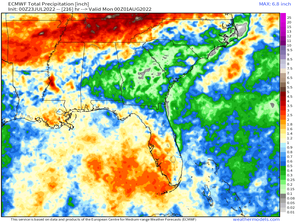
From Friday through Saturday these areas could see 0.50-1.00 inches of rain with isolated higher amounts for the counties bordering Tennessee. As mentioned above, another cold front will sneak into Tennessee Monday into Tuesday of this upcoming work week. This cold front will stall over Tennessee (so it won't make it down into Mississippi, Alabama, and Georgia) but it'll produce good rain chances for Tennesee for the first half of the week; when you factor in this front with the second front, Tennesee could see heavier rain totals of potentially 2.00-4.00 inches over the next week.
Rainfall forecast next 7-day
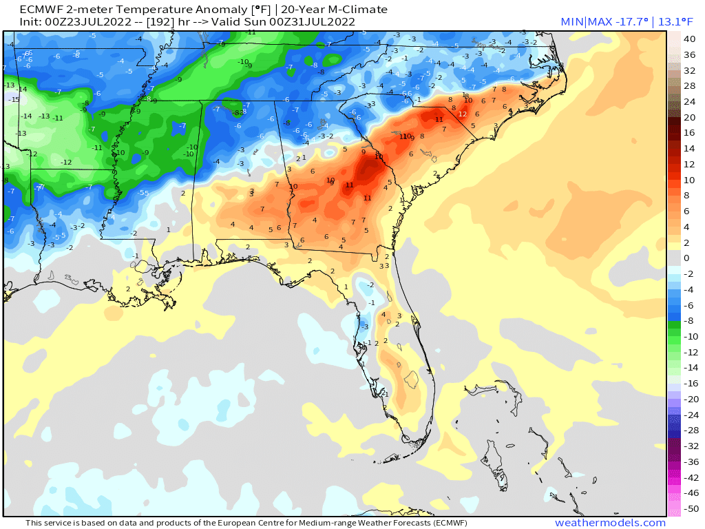
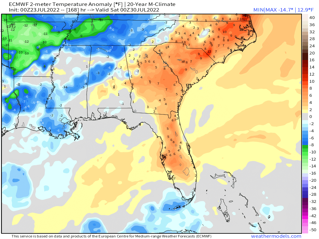
The increased rain coverage and clouds will keep temperatures a touch cooler with the second cold front. It won't be cold or even refreshing but temperatures Friday and Saturday afternoons could be a touch below average due to the clouds and rain (we will take some 80s, right?!).
Friday afternoon future radar
Friday afternoon temperature depature from average
Saturday afternoon future radar
Saturday afternoon temperature depature from average