Winter Weather Advisory in effect for North Georgia, dangerous travel expected
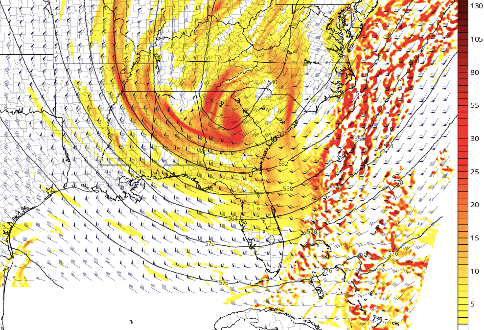
From severe weather and Tornado Warnings yesterday to accumulating snow and ice today. The weather has quickly changed from spring-like back to winter.
The big upper-level trough that helped trigger yesterday's severe weather continues to move off to the east. This trough now has brought a northwesterly flow to the area providing colder temperatures to North Georgia. Within this northwesterly flow, a small, fast-moving shortwave will swing into the region. While small, pretty strong lift is associated with this shortwave, which will allow for periodic bands of snow to move into North Georgia today into early Saturday morning.
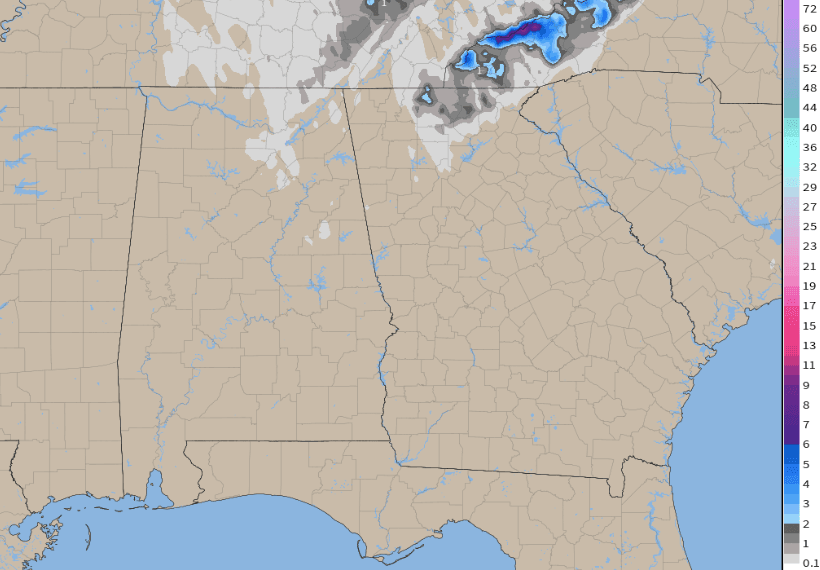
Because of the cold temperatures and snow, some accumulations are possible in North Georgia. ½ inch to 1 inch of snow can be expected for parts of North Georgia below 1,000 feet with 1 to 2 inches above 1,000 feet. Some of the higher peaks near the Tennesee border could approach 3 inches. Paired with the snow, rain from overnight into the morning has left roadways wet. The wet roadways will turn to ice as temperatures fall well below freezing tonight, making for tricky travel.
Because of the snow and icy roads expected, a Winter Weather Advisory is in effect for parts of North Georgia today until 3 a.m. Saturday morning.
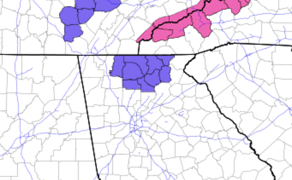
Light snow is also expected for North Alabama, Central and East Tennessee, and the mountains of West North Carolina. While mainly light snow is expected, the mountains near the Tennessee-North Carolina border could see over a foot of snow with reduced visibility due to wind and snow. A Winter Storm Warning is in effect for these mountains.